
Photo Credit: Bret Fickes

Natural areas are critical to ecosystem resilience and services, including water quality, but many are threatened by development, fragmentation, and habitat degradation. The Natural Areas Assessment and Protection Program (NAAP) was created in 2006 by the Huron River Watershed Council to map and assess the natural areas in the Huron River watershed of southeast Michigan. The program shares both GIS and field-based data with decision-makers to inform the prioritization and management of areas with the highest ecological integrity. However, since the program’s inception it has not gone through a thorough review. We systematically assessed and provided improvements for three main areas of the program: 1) Ecological integrity assessment, 2) Data management and integration, and 3) Engagement and impact.
Ashley Lorinsky, Gavin McGregor, Paul Christianson, Allyson Holman, Vanessa Decker, Colin Welk

Colin is an environmental scientist and natural resource geographer with a passion for forests, water, and food systems. He is currently completing an M.S. in Natural Resource Management with a focus in Geospatial Data Sciences and has key interests in watershed management, landscape ecology, and land use planning and the application of GIS tools and landscape-level models in these domains.
Previously, Colin received his B.S. in Environmental Science from Iowa State University and has a background in Geographic Information Systems (GIS) with experience working for private, local/state government, and non-profit entities in research & technician roles.
Paul is a graduating Masters student at the University of Michigan School of Environment and Sustainability with concentrations in Conservation Ecology, Geospatial Data Science, and Environmental Policy and Planning. His primary academic interests lie in watershed conservation, urban ecology, landscape connectivity, and in the insights that ecosystem modelling can provide into these.
Previously, Paul received his B.A. in Political Science and History from the University of Illinois at Urbana-Champaign, after which he worked as a political staffer in positions which ranged from congressional campaigns to Capitol Hill.
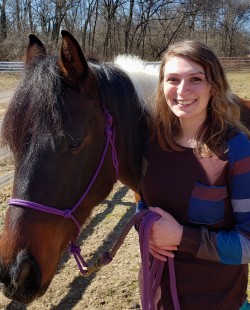
Ashley is a graduating Masters student studying Conservation Ecology and Environmental Justice. Her primary academic interests lie in traditional ecology knowledge, human-wildlife interactions, and species management.
Previously she went to Brandeis University for undergrad and received a degree in Environmental Science and History. Her past work experience has ranged from working as a farm assistant to doing interpretation for the US Park Service and field work for the US Forest Service.
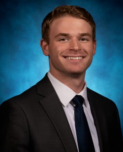
Gavin is a Masters student at the University of Michigan in the School for Environment and Sustainability specializing in Conservation Ecology and Behavior, Education, and Communication. His academic interests are the connectivity and collaboration between conservation based field work and geospatial data sciences.
Gavin earned his B.A. in the Environment Program from the University of Michigan in 2018, with a specialization in energy science. Prior to and throughout attending graduate school, he worked as a renewable energy development consultant, primarily acting as a lead GIS technician.
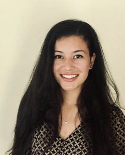
Vanessa Decker is a master’s student at the University of Michigan School for Environment and Sustainability studying Conservation Ecology and Environmental Informatics. Her career interests include wildlife and land conservation and ecosystem restoration.
She received her B.S. in Biology from the University of Michigan in 2017 and was previously employed in a chemistry research lab where she worked on creating sensors for chemicals in groundwater. She has several additional years of undergraduate research and teaching experience in various departments across the University of Michigan.
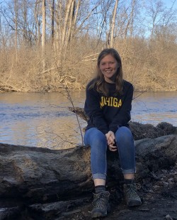
Allyson Holman is currently a Masters student with a focus in Conservation Ecology at the University of Michigan School of Environment and Sustainability. Her primary academic interests are wildlife conservation, endangered species management, and human-wildlife interactions.
Before starting at SEAS, Allyson received her B.S. in Environmental Science from Stephen F. Austin State University. She has past professional experience with regulatory management regarding endangered species, migratory birds, and eagles.
Project Outcomes
Overall our three-tiered approach to evaluating NAAP brought to light how well this program conforms with best practice, has accumulated valuable data, and impacts landscape-scale conservation planning. It also allowed us to make recommendations and even implement changes to the operations of the program, including integrative solutions across the three program areas addressed. For example, as staff begin to use the new data management system to automatically generate user-tailored reports, they can include content we recommended from our evaluation such as terms to improve user understanding, already available geospatial data on soils as a component of integrity, and current zoning to better inform decision-makers about that site. Together the project recommendations and new approaches can increase the efficiency, accuracy, usability and long-term viability of this important natural area protection effort.
Acknowledgements
Thank you to everyone who helped make this project possible. We would like to specifically thank Kris Olsson, Kate Laramie, members of HRWC, and Sheila Schueller for their hard work and dedication throughout the project. Additionally, we would like to thank Jacqueline Courteau, Josh Cohen, members of the Michigan Natural Features Inventory, and UM staff members Peter Knoop and Shannon Brines for their invaluable help.
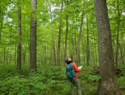
The Natural Areas Assessment & Protection Program aims to rank the value of the remaining natural areas in the watershed in terms of ecological integrity and restorability, and to provide access to this information so that governments, conservancies, and landowners can make informed decisions for protection and restoration of these lands.

Photo Credit: Bret Fickes
