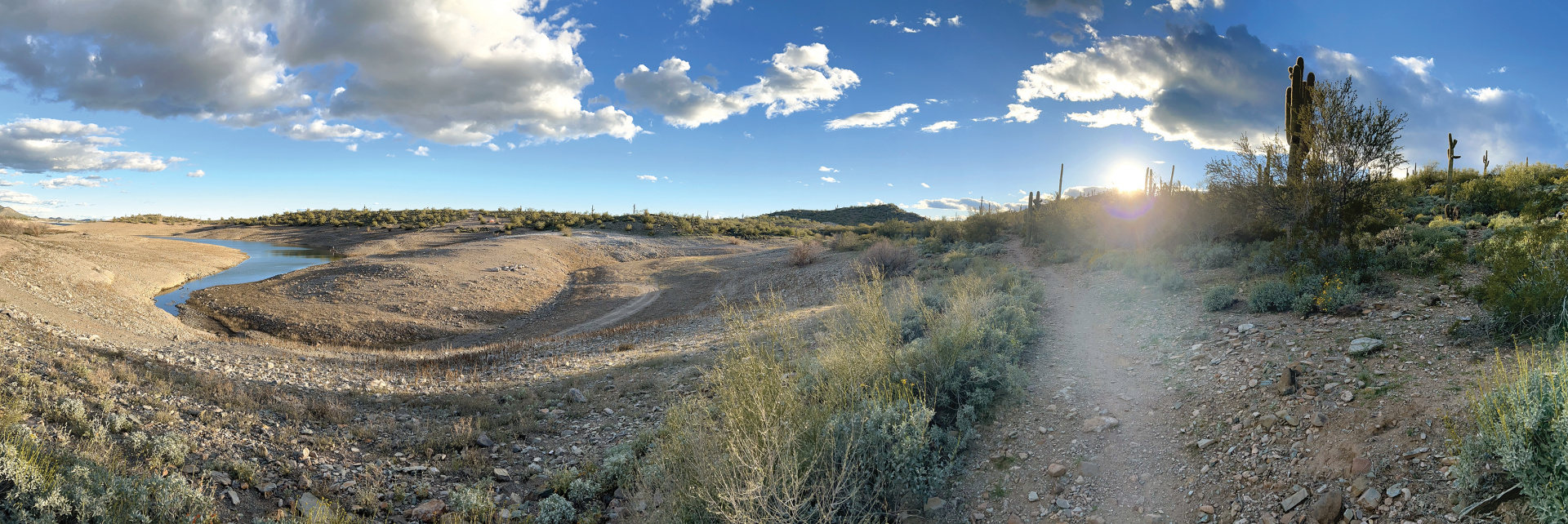
Lake Pleasant (a portion of which is visible at left in the photo above) is one of many impoundments Drew Gronewold visited during his field work in western Arizona where water management authorities are balancing diminishing supplies with regional demands for freshwater. Photo Credit: Drew Gronewold
Faculty Perspective: The Future of Water in a Changing Climate
Drew Gronewold
University of Michigan School for Environment and Sustainability (SEAS) Associate Professor and hydrologist Drew Gronewold is interested in understanding natural and anthropogenic forces (including climate change and changes in different rates of water use) that impact water supplies and water levels across Earth’s large lakes and freshwater systems. His work focuses on the water balance of the Laurentian Great Lakes, which involves understanding not only changes in water use within the Great Lakes Basin, but also how changes in water use outside the Basin might impact continental water distribution over the next several decades. His research also involves looking at changes in water use and water-use policy along the Colorado River, Rio Grande/Bravo, Ogallala Aquifer, and other major continental surface and subsurface freshwater resources.
You visited western Arizona last spring. Why did you travel there, and what were some of your key takeaways?
I traveled to the Colorado River and western Arizona to immerse myself in the arid environment and see in person the extraordinary infrastructure put in place (much of which is defined by the Central Arizona Project, or CAP) to transfer water from the Colorado River to large cities in Arizona (including Phoenix and Tucson) and California. I traversed significant portions of the CAP by bike and on foot and, along the way, interviewed water supply management representatives about their role in the water distribution system and their perspectives on the future of water use in the arid southwest. One of the key takeaways is that humans seem willing to do an awful lot (through economic and infrastructure investments) to move water over long distances. Another is that growth rates and human behavior in the region don’t seem to reflect what might otherwise be thought of as a growing water crisis.
How is the problem with the Colorado River connected to the Great Lakes?
There is a looming question in this country about how we are going to continue to provide a growing population with water when there are areas in which there are diminishing supplies of fresh surface and groundwater, while at the same time there are areas of water abundance. The Great Lakes Basin and the Colorado River Basin not only are two of the largest freshwater basins on the continent, they also characterize those two extremes. So, there is a logical series of questions that connect these two basins regarding whether people will need to move to get to freshwater, or whether technology will be used (through, for example, desalination or massive distribution infrastructure) to bridge the gap.
How is climate change affecting the Great Lakes?
There have been multiple studies on how climate change has been affecting, and might continue to affect, the Great Lakes. The studies that focus on Great Lakes water supplies and water levels suggest that climate change is causing a long-term increase in the total amount of water coming into the Great Lakes through precipitation, but also (on average) more water loss through evaporation. So, we’re finding that climate change may not cause average Great Lakes water levels, over multi-decadal periods, to be dramatically different from their historical long-term average. There is reason to believe, however, that there might be changes in shorter-term water level variability, particularly when considering more intense storms and diminishing coastal ice cover.
What are transboundary water rights, and why do they matter?
One interpretation of transboundary water rights is that they govern how water can be used by citizens and industry when the natural features that differentiate freshwater boundaries (including watersheds and aquifers) don’t align with political boundaries. These rights matter a lot because they help define how water is shared among communities. Ideally, these water rights would help ensure that sharing is done in an equitable way.
What is the Great Lakes Compact, and is it time to reimagine it?
The Great Lakes Compact, more formally known as the Great Lakes–St. Lawrence River Basin Water Resources Compact, is an agreement between the eight states that border the Great Lakes. There is also a companion document, known as the Great Lakes–St. Lawrence River Basin Sustainable Water Resources Agreement, which was signed jointly by the eight Great Lakes states and the provinces of Ontario and Quebec. These documents collectively accomplish several objectives, including economic development through conservation and efficient use of water across the basin, a general ban (with limited exceptions) on new diversions of water from the basin, and guidelines for reviewing applications for exceptions to the ban.
The Great Lakes Compact is an extraordinary document that was ratified by the U.S. Congress and became law in 2008. Even though it was enacted only 15 years ago, the continental water scarcity and abundance context in which the compact was created continues to evolve. It may not be necessary to change anything about the Great Lakes Compact, but I do think it’s important for residents of the Great Lakes to continually learn about its origins and to be cognizant of potential threats it might face in the future.
New Center to Study Climate Change Impacts on Water Resources Across Borders
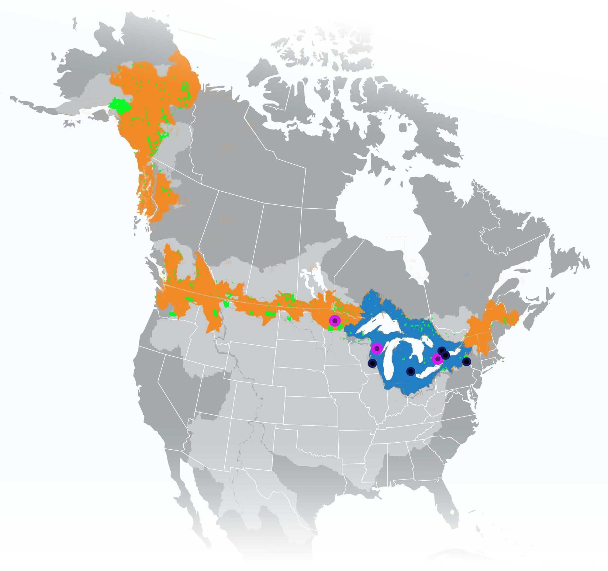
The National Science Foundation announced a $5 million award to U-M for the Global Center for Understanding Climate Change Impacts on Transboundary Waters, an international effort to strengthen the climate change resilience of vulnerable communities that span international boundaries and jurisdictions. Partners in the project include Cornell University, the College of Menominee Nation, the Red Lake Nation and the University of Wisconsin. Housed at SEAS, the center will initially focus on climate change adaptation in the Great Lakes region—with an emphasis on Indigenous communities—and will expand its work to other North American multinational watersheds and beyond. It will be led by SEAS Associate Professor Drew Gronewold as its principal investigator.
Above: The new Global Center will draw on relationships and policies from transboundary watersheds and Indigenous Territories along the entire U.S.-Canada border (orange and green regions, respectively). The Great Lakes Basin (blue) serves as an initial area of focus. Directly funded project partners are identified as black dots, with Indigenous partners highlighted by a purple ring. All of North America’s transboundary basins are highlighted in light grey for reference. Image credit: SEAS and Office of the U-M Vice President for Research
SEAS Visiting Associate Professor Cedric Taylor is a sociologist and documentary filmmaker who focuses on racial health disparities, environmental justice and visual sociology. He is the director and co-producer of “Nor Any Drop to Drink: Flint’s Water Crisis.”
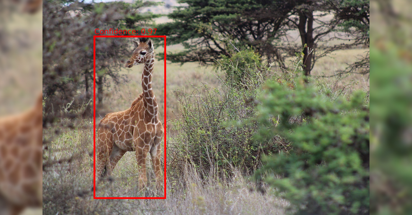
Although artificial intelligence (AI) programs were first developed decades ago, they made an undeniable splash in 2023. Now, researchers at SEAS, alongside collaborators in the U-M School of Information, are focused on laying the groundwork for using AI to accelerate wildlife conservation efforts using social media.
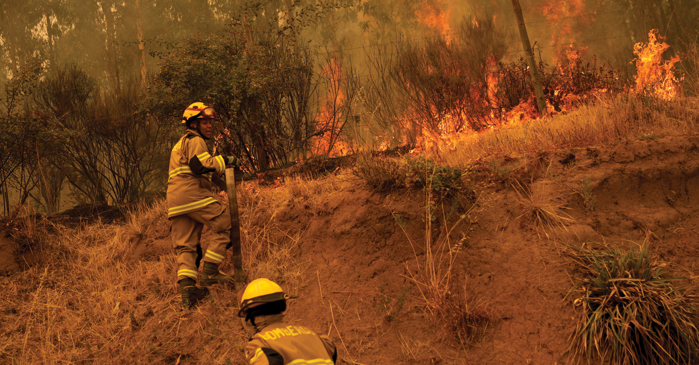
In early 2023, wildfires were raging in Chile, which isn't unlike what the U.S. has experienced with more frequency in recent years, particularly in the western part of the country. SEAS Associate Professor Paige Fischer says that when it comes to how climate change is impacting wildfires, the U.S. West and Chile have quite a bit in common.