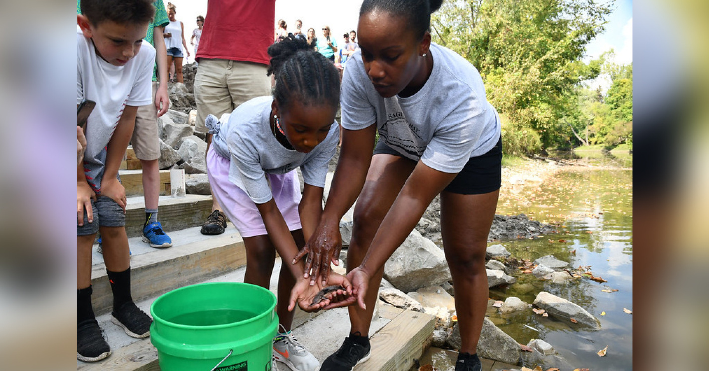
 SEAS Assistant Professor Derek Van Berkel has traveled the world, drawing inspiration from the beautiful cities, landscapes and natural areas he has visited. As a geographer, Van Berkel is motivated by a desire to conserve and restore these places for future generations.
His research uses spatial analysis and geovisualizations of social and environmental data and spatial thinking to develop solutions to environmental challenges. Part of this focuses on discovering the special places that humans value and are drawn to, such as national parks, hiking trails, beaches, or particular neighborhoods and cities.
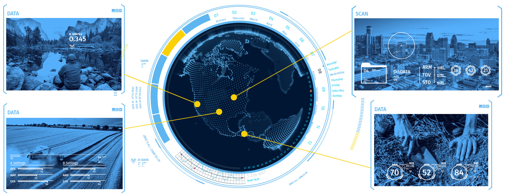
Specifically, Van Berkel uses social media to mine photographs of the locations that people visit around the globe, which can provide clues about how those locations are being used and how they might be managed to increase their sustainability.
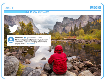 “These photos allow us to see how people are using landscapes and natural areas—where they are walking, if they are encountering wildlife, what they are doing in these locations—which can give us a broader picture of society and how we’re impacting the earth,” Van Berkel said.
By analyzing hundreds of thousands of pictures—“potentially instantaneously”—Van Berkel can glean important information, such as traffic patterns or changes to a landscape over time, which can be used to respond more quickly to issues.
“For instance, if the photos show that people sharing photos on social media are getting too close to wildlife, we might be able to work with park managers to change the design of the park so that we limit disturbances to wildlife,” Van Berkel explained. “Another example is that frequent photos of wildlife encounters on hiking trails can be used to limit how many people hike on those particular trails.”
The end goal, said Van Berkel, is to translate that information for policymakers, who can then use it to make informed decisions about keeping these valued places—and society at large—more sustainable and resilient.
“We want to convey that it’s important to conserve special places because of their potential to support the economies of rural communities through the activities of visitors,” Van Berkel said, “but also because of their intrinsic value. People broadly appreciate the beauty of nature, and benefit from these locations throughout the world.”

 SEAS Associate Professor Kai Zhu uses ecological modeling and environmental data science in his research on global change biology, which is a field that studies how biological systems are impacted by environmental change at a global scale.
Zhu, whose lab is part of the SEAS Institute for Global Change Biology, studies the interactions between climate, soil microbes, and plants.
Climate change can alter soil microbial communities, Zhu explained, which can impact soil nutrients such as carbon and nitrogen and the plants that rely on them. While changes in soil can have a significant impact on the environment, these changes are not always visible.
Understanding these complex interactions can help anticipate changes in forests and nutrient cycles in the future.
 “By studying the interactions between soil and climate change, we can better understand the potential impacts and take action to mitigate them,” Zhu said. “We hope to discover new insights into how soil responds to climate change and how we can protect our ecosystems.”
Another research focus for Zhu involves detecting changes in plant phenology, which refers to the timing of recurring biological events, such as leaf-out and flowering, and how they are related to the environment. Phenology acts like “nature’s calendar,” Zhu said, and is sensitive to climate change.
Warmer temperatures, for instance, can cause earlier spring events and longer growing seasons. Zhu points to the timing of pollen release from wind-pollinated trees and its impact on public health as an example.
“Climate change has caused pollen seasons to start earlier, last longer, and be more intense,” he noted. “By understanding pollen phenology better, we can improve our models and predictions to mitigate the risk of pollen allergies.”
Big data is essential to Zhu’s research, he said, because it fosters new opportunities for understanding biological responses and processes at a grand scale. “It used to take a huge effort to collect a few data points, but now, because of technological innovation, the process has become much easier,” Zhu said. “Thanks to the big data revolution, data are growing in quantity and quality at an unprecedented rate.
“Big data allow us to identify patterns and relationships that would be impossible to see otherwise,” Zhu added. “By analyzing massive amounts of data from multiple sources, we can gain a better understanding of the impacts of climate change and how to solve these problems.”


 SEAS Assistant Professor
 Jain, who was introduced to the field of remote sensing as a PhD student at Columbia University, said big data has proved to be a gamechanger in her work because it creates opportunities for large-scale analysis of agricultural metrics, something that had been difficult to do previously.
 More than half of the world’s population live in urban areas, said SEAS Professor
 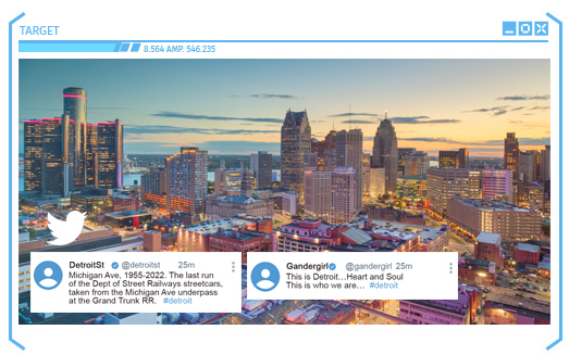 “Through algorithms, we are able to classify these tweets as either believing in or not believing in climate change,” Newell explained, “which allows us to map out climate change skepticism and belief across the entire United States.”